Field Data Capture & Surveys
Ground-truth evidence, not self-reported numbers.
Collect the qualitative evidence other tools miss — and structure it. Every submission carries a place, a time, and a person, so it stands up to scrutiny.
The problem it solves
Self-reported numbers with no evidence behind them.
When impact is captured in a one-off survey or a consultant deck, there's nothing tying a claim to a real moment. The first hard question — who, where, when — has no answer.
What you get
Built for evidence you can defend.
Multimedia capture from the field
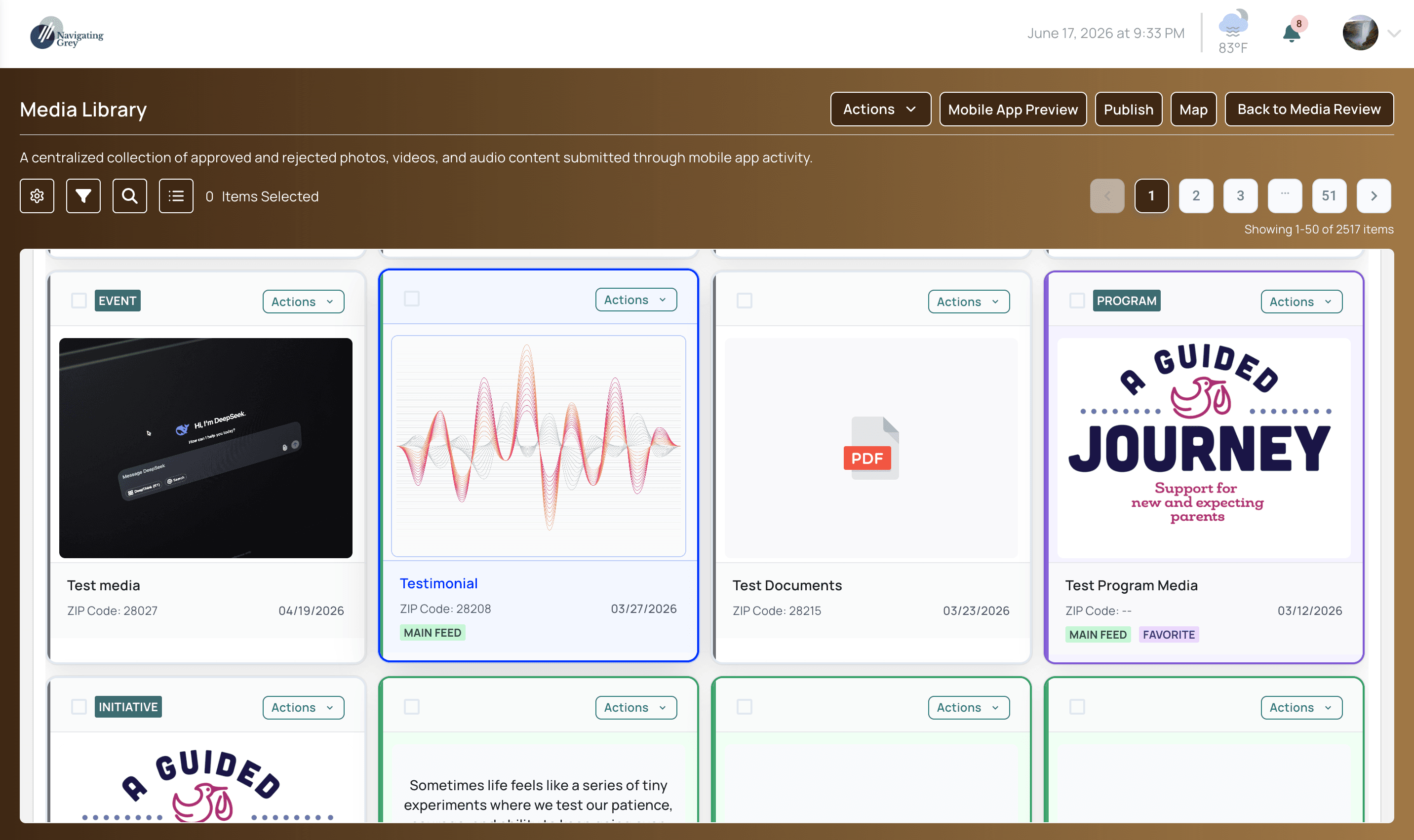
Geotagged photos, video, audio, and documents come in straight from the field, each one stamped with a location and a time.
Geotagged and timestamped on capture.
Section-based surveys
Build structured, multi-section surveys with resumable drafts, audio answers, and location questions — designed for real field conditions.
Resumable drafts, audio answers, location questions.
Public survey links
Collect responses from unauthenticated respondents over a public, multilingual web link, with consent built into the flow.
Multilingual, public, consent built in.
ZIP Code Agent Network
Local residents capture insight from their own neighborhoods, so the evidence comes from the people who actually live the impact.
Local agents, neighborhood by neighborhood.
Governed AI & privacy
Every submission can be excluded from AI entirely, and faces blurred and audio anonymized on demand — so sensitive community evidence stays protected.
Keep exploring
Pairs well with
See it in a demo.
Book a 30-minute walkthrough and we'll show you this on real initiatives, close to your own work.
30 minutes · no pressure, no obligation